 Passport


More heat, more humidity, more rain, more floods, more tornadoes — and more bad air
Meteorologists and climate scientists tracking Wisconsin's weather point to the trends of hotter nights, higher humidity, extreme rainstorms, more tornadoes and smoky air as standing out over the course of the 2025 summer season.
By Steven Potter | Here & Now
August 26, 2025

Rainwater flows from a downspout on the corner of a building on Aug. 18, 2025, in Madison. (Credit: Steven Potter / PBS Wisconsin)
After torrential rain caused disastrous flooding, wildfires in Canada fed a surge of air quality alerts, and temperatures stayed hotter longer, Wisconsin weather during the summer of 2025 has been unusually varied and volatile.
“So far, Wisconsin’s summer has been warmer than average and also wetter than average,” said Amanda Schwabe, a climate outreach specialist with the Wisconsin State Climatology Office at the University of Wisconsin-Madison. “Across the state, we’ve been about two degrees warmer than the average and the state has also been about 25% wetter than average.”
Those hot days haven’t been breaking temperature records, but they are different in duration.
“We’ve seen some heat waves where we’ve had stretches of 90 degree days and heat indices above 100, but it really hasn’t been more than usual,” Schwabe explained. “But what we have seen is more 80 degree temperatures for longer than usual in a lot of places, especially farther north and farther east. Both Green Bay and Milwaukee have seen about nine or 10 more 80 degree days so far this summer than they would typically expect to see.”
The heat waves began around mid-June, just as summer was getting started.
Another significant change in temperature – and comfort level – has been happening at night.
“We’ve seen a big increase in those overnight temperatures staying warmer as well,” said Schwabe. “Since about 1950, Wisconsin has about tripled the number of 70 degree nights, so that’s really a long stretch of heat. That really doesn’t give your body much time to cool down — means those mornings aren’t cooler either. So if you’re getting out early for a walk or a run, it’s just consistently warm. That puts more stress on your body.”
Everyone’s most hated summer villain – humidity – also made a strong showing in 2025.
“This summer has been exceptionally humid. In fact, July was our second most humid July since 1979. So far this summer, we’re on track to be the most humid summer that Wisconsin has seen since 1979,” Schwabe added, noting that heat and humidity are linked. “With warmer temperatures and a warmer environment, warmer air can hold more moisture. That means we’re just packing more moisture into that warm environment.”
But what is the source of humidity?
“Typically our humidity in Wisconsin will come from the Gulf of Mexico. We’ll get a nice strong southerly wind that will pull up all of that Gulf Coast moisture and push it into the Midwest and into Wisconsin,” she said.
Schwabe also noted a minor agriculture-related component that is relevant in the upper Midwest.
“There is ‘corn sweat’ – scientifically called evapotranspiration – that can add a little bit to our humidity, especially in more rural areas that have a lot of corn fields,” she explained about this link between agriculture and weather. “All plants release moisture in the photosynthesis process, and so when you have a high concentration of corn, soybeans, really any type of plant, that can add to a little bit of the humidity. But the bulk of Wisconsin’s humidity usually comes from the Gulf Coast.”
Schwabe said there is also a link between that increase in humidity and the season’s 25% increase in rainfall statewide, particularly the torrential downpours in mid-August that caused flooding around the Milwaukee area.
“A lot of [the summer] rain events have been more intense. When we have a more humid atmosphere – humidity is water vapor in the atmosphere – a rainstorm that comes through and it enters a humid environment, that’s a lot more water for that storm system to pull from. That fuels heavier rain events,” she explained. “Since it’s been so much more humid, a lot of the rain that we’ve seen this summer has been really intense in a lot of areas, specifically southeastern Wisconsin. And northeastern Wisconsin has also had a decent amount of flooding this summer.”
Then there has been a noticeable increase in air quality alerts caused by smoke drifting from widespread wildfires across Canada — Schwabe said records have been broken in 2025.
“This summer, 24 days have been impacted by wildfire smoke – that is the highest that the DNR has counted since they started counting in 2007,”, she said on Aug. 13.
Schwabe expects that winds coming from Canada will make that count grow even higher.
“[Natural Resources Canada] said they are expecting above average activity through the month of August,” she said. “It just increases the chances that we will be impacted by wildfire smoke again.”
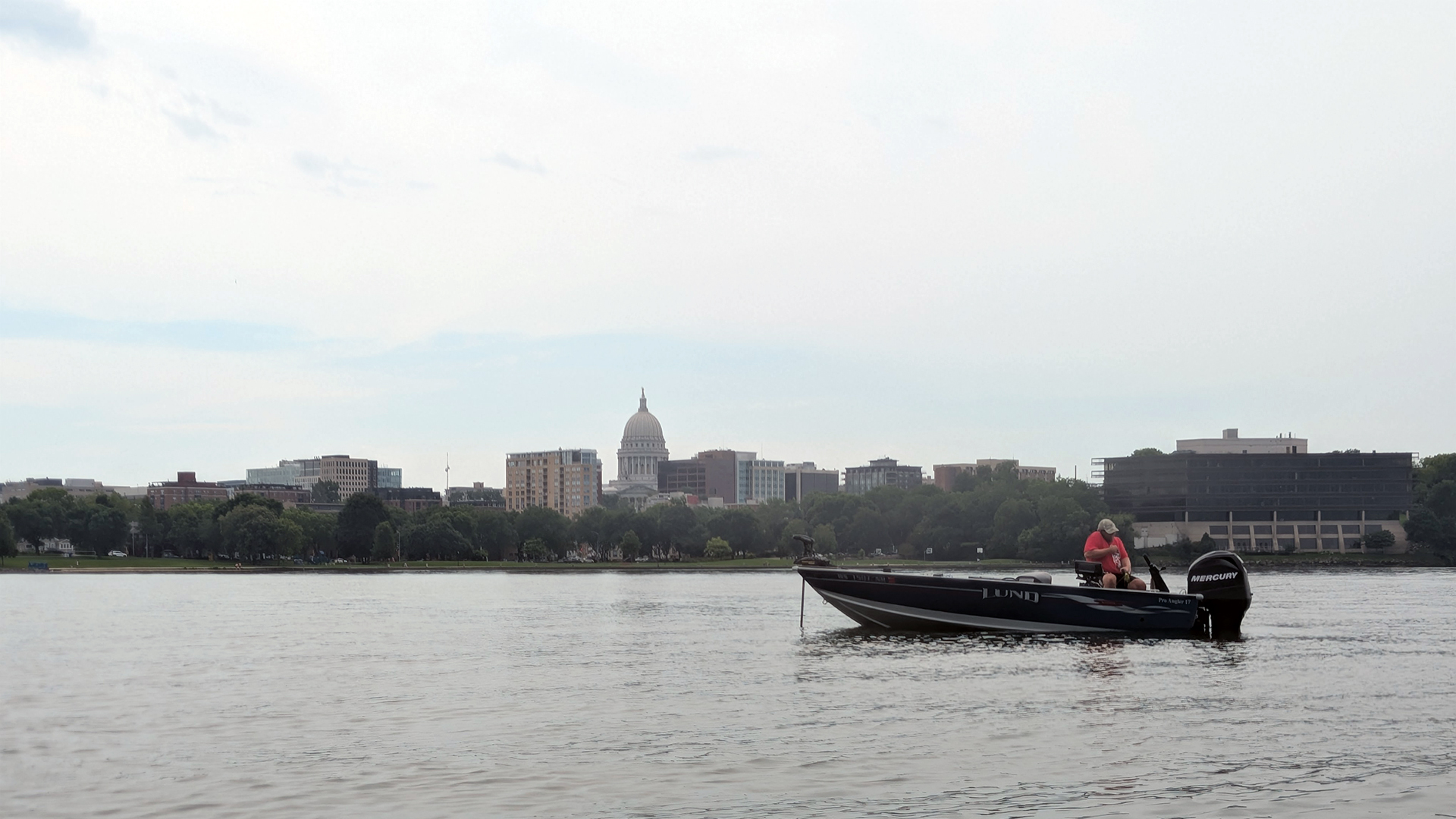
An angler fishes from a boat in Lake Mendota under hazy skies off the shore of James Madison Park on Aug. 16, 2025, in downtown Madison. (Credit: Steven Potter / PBS Wisconsin)
Another safety concern Schwabe has been tracking over the summer is the increase in tornadoes.
“For the entire year, there have been 36 tornadoes in the state of Wisconsin. June was actually a little less active than usual with four tornadoes. But then in July there were 10. If you include May, when there were a lot of tornadoes, that brings our total up to 36,” she said Aug. 13. “Our average for the year for Wisconsin is usually 23 tornadoes – so we’re already well above that.”
Schwabe added that warmer and more humid weather has been making conditions more possible for more tornadoes.
“That warmer environment creates better conditions for storms. When you get more storms coming through, they can maybe sustain themselves for a little bit longer, and they’re having a longer lifespan in that warmer, more humid environment,” she said. “It just creates a higher chance for those tornadoes.”
While the increase in extreme weather has been considerable, Schwabe emphasizes that there are improvements in the technology and ability to track such events.
“We have better resources, better tools and better records to keep track of all of these extreme weather events that are happening,” she explained. “But data does show that we are seeing more of those extreme floods, more of those intense rainfalls, more long stretches of heat – and not just in Wisconsin, but across the country.”


Follow Us