 Passport


Education|Classroom Media|Resources|History
- Watch
-
-
Watch Shows
-
-
- Support Us
-
-
Membership
-
-
Education|Classroom Media|Resources|History
The Man of Commerce. Published 1889. Designed by A.F. McKay. Courtesy University of Wisconsin-Milwaukee Libraries.
PBS Wisconsin Education is winding down its second season of The Look Back. Aimed at learners in grades 4-6, the series is hosted by five historians who explore Wisconsin historical eras through artifacts. They model historical inquiry as they ask questions, talk to experts and examine primary sources at locations around the state.
This season has taken viewers to a remote lighthouse in Door County, the home of Dungeons and Dragons creator Gary Gygax in Lake Geneva and a postwar era fallout shelter in Racine. In the latest episode, hosts Cat Phan and Sergio González explore the state a little differently, through early maps housed at the American Geographical Society Library (AGSL) at the University of Wisconsin-Milwaukee.
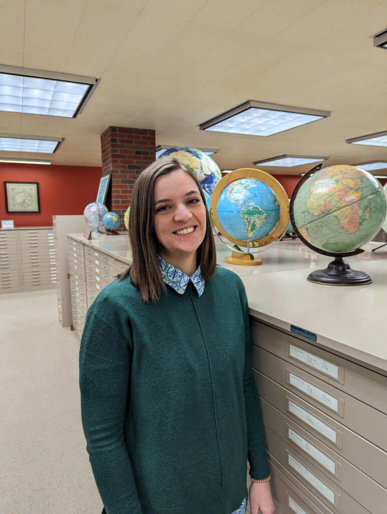
PBS Wisconsin Education spoke with Georgia Brown, a public services librarian at AGSL and the episode’s expert on maps, to learn more about her experience.
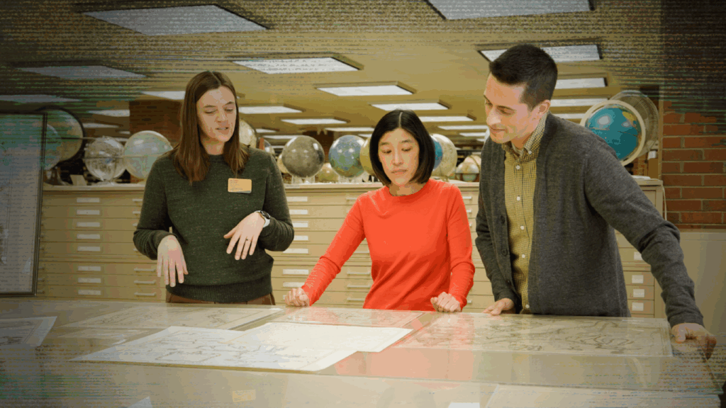
Georgia Brown (left) shows The Look Back hosts early Wisconsin maps.
PBS Wisconsin Education: What was it like working with PBS Wisconsin Education on The Look Back?
Georgia Brown: Working with The Look Back was very fun! Before this, I had only been interviewed by a student who interviewed me about a map she learned about during her class’s visit to the AGSL. The experience was a neat behind-the-scenes of video production. I learned so much that day! Seeing all the cameras and the equipment that go into the videos was eye-opening.
PBS Wisconsin Education: What sparked your curiosity about maps?
Brown: There’s actually a picture of me on my dad’s lap as a baby, and we’re both pointing to something on an atlas. Because of that photo, I joke that I’ve always been interested in maps.
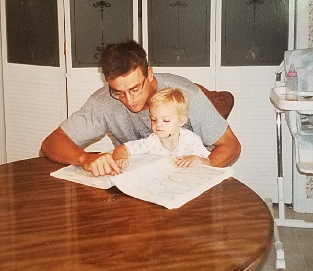
Brown and her father, Brian Brown.
As I grew up, I’ve always been good with geography and direction. Social studies, geography and history were always my best subjects in school. I really appreciate how a place, whether in a cold climate or hot climate or somewhere in between, affects people, animals and plants.
I also love how the opposite is true. People make a place be known for a certain thing. As a transplant from Tennessee, my best example is BBQ in the Southern United States. And all of that knowledge can be put on a map!
PBS Wisconsin Education: What’s a wild map in your collection not featured in the episode? What makes it interesting?
Brown: I think the wildest map in our collection is The Man of Commerce. It’s the U.S.’ economy as a human body. It was printed in West Superior, Wisconsin, and printed on the map near the title, it says, “Note that WEST SUPERIOR, Wisconsin, the head of Lake Superior, is at the HEART of this wonderful man, the CENTER of this great railroad and commercial system.”
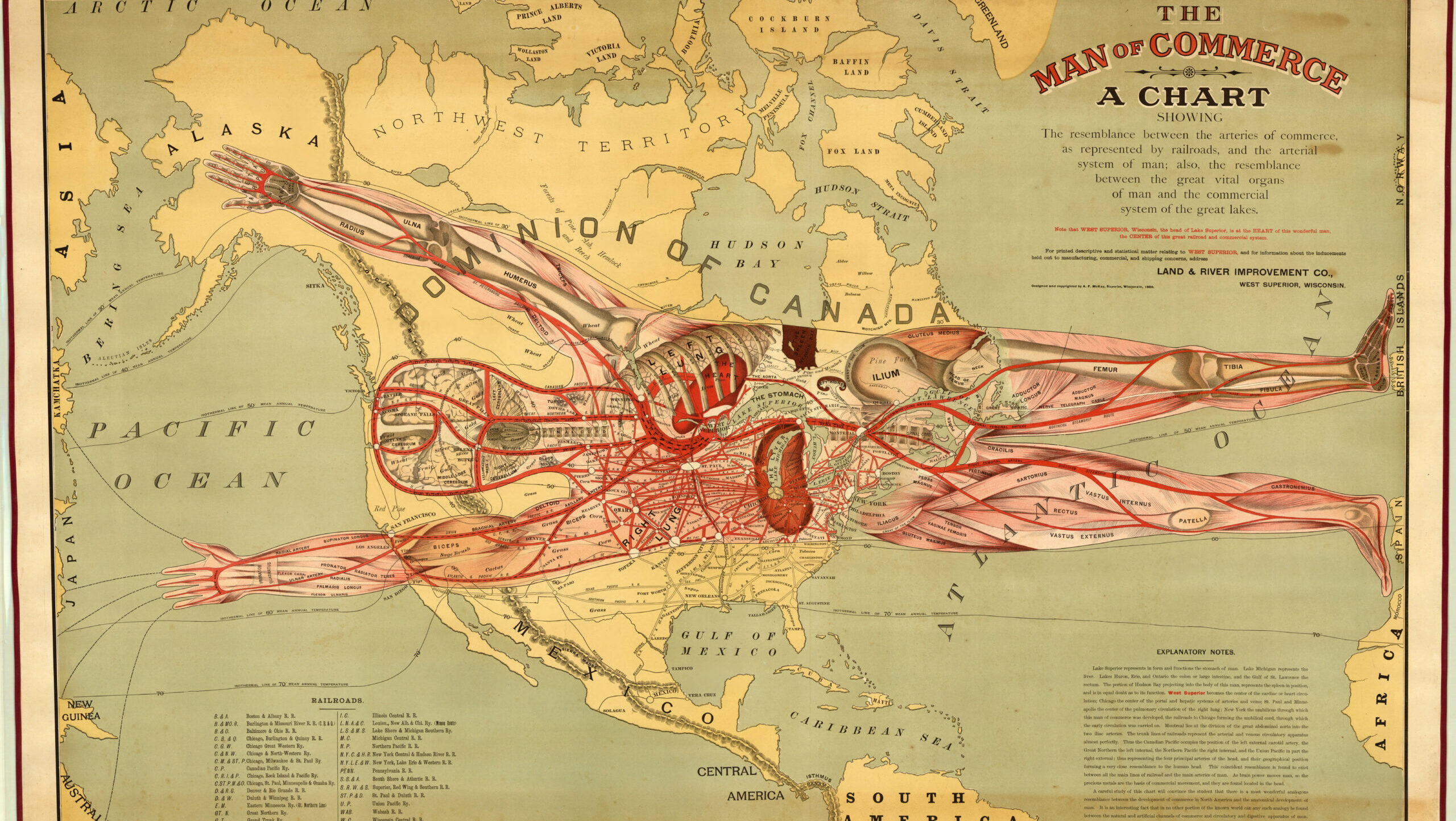
The Man of Commerce. Published 1889. Designed by A.F. McKay. Courtesy University of Wisconsin-Milwaukee Libraries.
Another great thing about the map is the font size they chose for the city of West Superior. On political maps, font size often shows the population size of a city. For this map, the font size of West Superior is larger than New York City or Chicago or San Francisco.
PBS Wisconsin Education: Today, people have instant access to digital maps to help them find their way around. What do you hope learners take away from this episode of The Look Back?
Brown: Two questions I get asked often [are], “Why do we need to keep all these old maps when we could just use a digital way to get there?” [and], “Don’t [you] just miss using paper maps and road atlases instead of the digital version?”
Weirdly, I usually answer those questions the same way: both digital maps and print maps are good! Maps, especially in this collection, are a snapshot of an era in time, and they can help you understand a place and its past better. Also, yes, sometimes GPS does not work and having a paper map comes in handy.
On the flip side, I tell people who are pro paper maps that nothing is more helpful than when the GPS tells you about a road closure that you had no clue about or a traffic jam you are about to hit.
This episode is mostly about historical maps, so I hope learners realize that maps can teach people so much about the place they are studying. And I am excited that more viewers will know that the AGSL exists!
Watch The Look Back anytime on PBS Wisconsin, PBS Wisconsin Education and PBS Wisconsin Education’s YouTube channel. The American Geographical Society Library is free and open to the public for drop-in visits during opening hours.


PBS Wisconsin is a service of the Wisconsin Educational Communications Board and the University of Wisconsin-Madison. © 2026 All Rights Reserved.
What do you think?
I would love to get your thoughts, suggestions, and questions in the comments below. Thanks for sharing!
Tawny Morrison